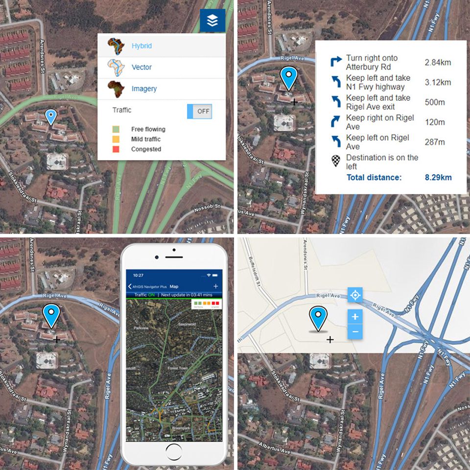
AfriGIS assists you to put your business on the map!
Be more competitive by adding offices, branches or assets on a map.
Our maps empower you to:
- Add a dynamic map into your website.
- Create beautiful and fast base maps.
- Display customisable, simple and powerful maps.
- Include map markers on your office location.
- Include selected Points of Interest (POI).
- Remotely manage your own layers.
- Extend capabilities with plugins freely available.
- Display updated imagery.
- Customise map styles.
- Add unlimited offices to your map, including drive time directions.
- Share routes via mobile devices.
- Configure and integrate with other AfriGIS services.
- And more...
Based on leading open-source Leaflet library & works across all major mobile and desktop platforms.
We host your layers, maps and solutions.

How can we assist?
"Location, location, location." ~ Harold Samuel (Founder of Land Securities, 1944)
We create ONE OF A KIND GEOSPATIAL SOLUTIONS. We use geospatial information science to bring information about WHERE to life across industries and in any application. This helps our clients unlock value through better business intelligence.
- Turning strategy into action: How AfriGIS supports SA’s geospatial information management strategy?27 Oct 09:56
- Geospatial in Africa: The highs, the lows, and what’s ahead in 202508 Oct 12:13
- AfriGIS preserving South Africa’s heritage02 Oct 16:08
- Restoring trust in municipalities through GIS-enabled asset management systems29 Sep 13:56
- How geospatial insights can transform service delivery planning and analysis in South Africa03 Sep 10:09


