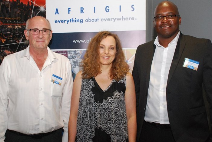
Applying geospatial data ethically
AfriGIS’s Brian Civin spoke about technology ethics and sustainability. That we can do something doesn’t mean that we should, he said. He reminded the audience that the best tech in the world is of no use to someone who cannot afford it. He also said that the best technology is technology that is sustainable and easy to use – the wheel, for example, has been refined over the centuries, but remains the same in principle. Real sustainability adds value to people’s lives on an ongoing basis, he added, but it has to be economically viable and applicable to all.

With quality data underpinning geospatial strategies, the company’s Martha Burger gave an overview of updates to the company’s range of datasets, as well as answered frequently asked questions about how the data can be used.
There were 60 751 additions to its Street Address (NAD) dataset, 27 780 changes to Street Numbers, 1 140 211 Street Addresses verified, 12 012 Street Centreline additions, 2756 Street Name changes and 45 948 Land Parcel additions, 433 Sectional Scheme additions, 3984 Point of Interest additions (as well as 12 659 verifications), 70 Proclaimed Towns additions (101 modifications), 1006 Gated Communities additions, and 112 Suburb additions (530 modifications).
Burger addressed frequently asked questions such why SG codes are occasionally duplicated. She explained this with the example of a farm being sub-divided by a road, with the portions on either side being surveyed as two polygons and not as a multi-polygon. Some datasets are more suited to specific applications than others, she said, such as building diagrams being better suited to fibre trenching than road centrelines due to their varying accuracies to and between buildings. She further explained how multiple datasets can be combined to create and validate value-added products such as the AfriGIS Commercial Property Indicator dataset.
The company prioritises data capturing based on navigation logs (e.g. vehicles travelling but not close to any road segment), on NAD (e.g. where NAD entries exist but not close to road segment), or their CAD dataset (suburbs not road segment count is low), as well as on tickets logged by users.
Following Burger’s presentation, Masindi Netshilema from the South African Weather Service (SAWS) showed delegates how the organisation uses GIS for data dissemination. SAWS offers public services (e.g. forecasting and warnings) as well as commercial products and services for marine, aviation and insurance applications. While public media broadcasts are suitable for public consumption, commercial clients require data in certain formats for which GIS software is ideal. GIS is also useful for integrating various data sources such as radar, satellite, monitoring, weather stations and more.
Netshilema reminded attendees of the extensive influence weather has on people, be it on water, energy and health, agriculture, transport and other infrastructure such as road and rail safety. This makes weather data essential. Weather data such as the SAWS’s Lightning Ground-Flash Density Map is used by clients such as insurance companies to verify claims. Weather data is also increasingly being integrated into logistics and telematics to help route planning and even for selecting the most suitable vehicle for a trip. The data further feeds into predictive intelligence. He said SAWS recently started integrating air quality monitoring into its offerings.
Send your comments to az.oc.ee@tinoitisop.
Source: PositionIT - https://www.ee.co.za/article/applying-geospatial-data-ethically.html
- Turning strategy into action: How AfriGIS supports SA’s geospatial information management strategy?27 Oct 09:56
- Geospatial in Africa: The highs, the lows, and what’s ahead in 202508 Oct 12:13
- AfriGIS preserving South Africa’s heritage02 Oct 16:08
- Restoring trust in municipalities through GIS-enabled asset management systems29 Sep 13:56
- How geospatial insights can transform service delivery planning and analysis in South Africa03 Sep 10:09


