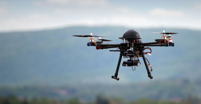
Drones could offer multi-faceted support in disaster relief

In the midst of the worst wildfire to strike the southern Cape coast, South Africa in over 150 years, drones slowly started coming into play as a local firefighting and disaster management tool.
Firefighters issued a call for drones equipped with heat mapping capabilities, which would allow them to identify hot spots at the greatest risk of flare-ups – a task virtually impossible for ground crews working in blinding smoke and dense undergrowth.
Drones were also harnessed by civilians who filmed the devastation in Knysna and Plettenberg Bay, allowing homeowners around the country and the rest of the world to witness the destruction and confirm whether their own properties were damaged or not.
Reducing risk
JJ Rebello, foreign government relations manager at Airborne Drones South Africa, says drones will not only improve the effectiveness of firefighting efforts; they will also reduce the risk to human life during firefighting operations and stand to limit damage to assets by enabling firefighters to work proactively, rather than reactively.
“Commercial drones can withstand temperature extremes from below 5 degrees Centigrade, up to 50 degrees Centigrade, and they can be flown to an altitude of 4,500 metres, making it possible for firefighters to deploy drones over areas where fires are active.
“With the use of advanced thermal imaging cameras transmitting data to command centres, they can identify people or animals, even where visibility is limited by darkness, smoke or vegetation, so allowing emergency teams to pinpoint exactly where assistance is needed. Thermal imaging cameras also support proactive firefighting measures, by mapping hotspots where flare-ups could occur.”
Rebello notes that in the security industry, it is estimated that a drone can take the place of 12-foot soldiers. “The same might apply in disaster management,” he says. “Sending in technology reduces risk to human life and allows resources to be deployed only where assistance is needed.”
Real-time maps of fire progress
Drones equipped with light detection and ranging (Lidar) technology support the three-dimensional modelling of forest structures and surface topography, which allows for the development of fire behaviour models, fuel maps and prescribed burn plans.
Drones are already being harnessed internationally to monitor and improve planned burns and provide real-time maps of fire progress.
For insurance purposes, drones also offer access to structures that are cut off from road traffic or too high to allow easy access, so supporting claims investigations and processing after disasters. Drone mapping allows insurance firms to rapidly document the scene without intruding on clean-up operations or exposing investigators to potentially hazardous materials; as well as providing data on risk factors associated with the damage.
“Drone technology is proving increasingly important in supporting pre-emptive approaches to fire and natural disaster risk management, as well as for disaster relief support,” says Rebello.


