#OnTheFrontLine: Geo mapping cools Covid-19 hotspots

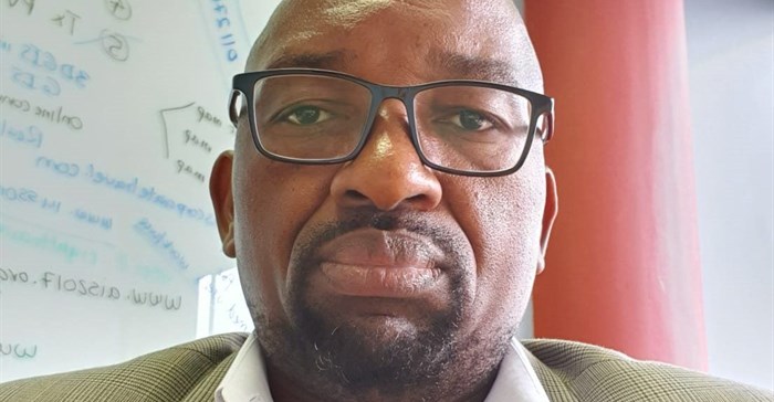
“One of the things that we have been able to do is look at social vulnerability geo mapping. That allows us to provide insights on how vulnerable our communities are to Covid-19. When you have that information, you can then build the right package of responses around that community,” says Dr Dorman Chimhamhiwa, geographic information system (GIS) and planning department head at Right to Care.
The non-profit organisation has used GIS mapping effectively during the West Africa Ebola epidemic and for the HIV/Aids epidemic in South Africa and other African countries. Since the current coronavirus outbreak began, Right to Care has been collaborating with the Department of Health by providing GIS mapping and spatial analytics support.
Chimhamhiwa and his team have been assisting provinces, geomap active cases and their contacts, areas where screening is being conducted, detailed mapping of socially vulnerable communities and hotspots and overall support to Covid-19 monitoring and evaluation.
For example, in Mpumalanga, the team is working closely with the government to track the virus in Covid-19 hot spots. With assistance from GIS, contact tracing teams have effectively traced all contacts and those diagnosed with Covid-19 have been provided with hospital care and support.
Chimhamhiwa says mapping cases as they happen also provides valuable and instant information that helps understand why there are hot spots in certain areas.
In some instances, it could be that people are not abiding by lockdown rules, cannot self-isolate because their living conditions do not allow or are exposed to Covid-19 when they make use of public transport. Armed with this information, decision makers can then make quick decisions on how and where to prioritise healthcare and other interventions to limit the spread.
Spatial modelling
“Through spatial modelling, GIS plays a very key role in terms of when and where are we likely to run out of hospital beds and what interventions should we put in place now, like increasing capacity, ICU beds capacity, bringing in more ventilators or the best location for a temporary healthcare facility if needed,” Chimhamhiwa says.
In addition to providing GIS support in Mpumalanga, Right to Care is also an implementing partner in the Free State, has begun assisting the Eastern Cape and is also working with the Zambian government where cases have increased.
It is also supporting the Department of Health with its coronavirus response providing training and technical assistance including coordination, dedicated disaster management, GIS mapping, enhanced surveillance, case identification and contact tracing, enhancing capacity for screening, testing, case management and communication.


