Commercial farmers (and stakeholders throughout the food supply chain) are under ever-increasing pressure to accelerate productivity and quality to meet rapidly rising demand. At Unitrans Africa, we are strategically positioned to offer commercial agricultural entities smart farming solutions to ensure maximum efficiency built on years of knowledge and experience.
At the center of these smart farming, solutions lies ‘precision agriculture.’

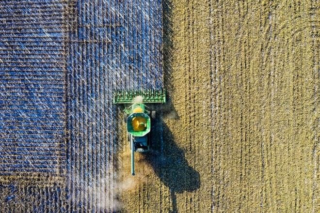
Image: Tom Fisk / Pexels
In very broad terms the concept and method of work can be defined as ‘a site-specific information and technology-based management system, using a variety of data sources.’ One of the biggest benefits of precision farming methods can is the detection and logging of variations. From the data farmers can then match resource requirements for optimized application, ensuring the best soil and crop health.
One aspect of precision farming is using technology for field leveling, commonly called GPS Levelling. GPS Levelling has various benefits but two of the most pertinent are:
- Saving time – The move from laser to GPS leveling around 2007 has provided the ability to level larger fields in shorter time periods, due to less frequent establishment of a reference base.
- Better field design – An investment in precision software enables both accurate and more efficient field designs. Instead of a fixed gradient throughout a field, a varying gradient is used. This has allowed field leveling operations to be done, with the added bonus of moving less soil. This, in turn, increases working speeds and significantly lower costs.
Precision agriculture is evolving from high-tech general concepts to specialized and intelligent methods such as precision irrigation, precision land preparation, and precision planting. These processes allow individual focus on plants or small dedicated areas within a field, while traditional practices center on a ‘whole-field’ approach.
Rising production costs are impacting the agricultural industry, also affecting product costs and negatively impacting food security. Adding to this, modern value chains are faced with arduous customers always seeking better quality and healthier products. Consequently, traditional farming practices struggle to meet such demand. Given this combination of factors, the adoption of digital tools empowers farmers to have a better understanding of variables, enabling them to make better sustainable decisions and have less reliance on fragmented data or manual inputs.
As part of a large range of agricultural services offered to clients, Unitrans Africa has developed significant experience in field design and GPS leveling over the years. Field designs are incorporated on the Unitrans Africa cloud-based storage, which allows anonymous comparisons of various farming operations of individual fields, or even areas. This forms part of the Unitrans Africa undertaking into precision agriculture and allows farmers to gain a complete set of information on their fields.


