WaPOR was presented during a high-level partners meeting for FAO's Coping with water scarcity in agriculture: a global framework for action in a changing climate. It allows for fine-grained analysis of water utilised through farming systems, generating empirical evidence about how it can be most productively used.
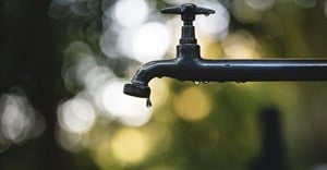
Worldwide water utilisation - the majority of which is used by agriculture - has outpaced the rate of population growth for most of the last century and some regions are close to breaching viable limits. "Water use continues to surge at the same time that climate change - with increasing droughts and extreme weather - is altering and reducing water availability for agriculture," says Maria Helena Semedo, FAO's deputy director-general, Climate Change and Natural Resources. "That puts a premium on making every drop count, underscoring the importance of meeting growing food production needs from efficiency gains."
WaPOR sifts through satellite data and uses Google Earth computing power to produce maps that show how much biomass and yield is produced per cubic meter of water consumed. The maps can be rendered at resolutions of as little as 30 to 250 meters, and updated every one to ten days.
FAO's team of information technology and land and water officers designed WaPOR - through a $10 million project funded by the Government of the Netherlands - to cover Africa and the Near East, with a focus on key countries that are or are projected soon to face physical or infrastructural water scarcity.
The continental level database is online, while country level data will be made available in June for Benin, Burundi, Egypt, Ethiopia, Ghana, Jordan, Kenya, Lebanon, Mali, Morocco, Mozambique, Rwanda, South Sudan, Syria, Tunisia, Uganda, West Bank and Gaza Strip, and Yemen. Even more detailed data will come online in October, starting with pilot areas in Lebanon, Ethiopia, and Mali.
WaPOR measures evapotranspiration, a key phase in the natural water cycle consisting of water that directly evaporates into the atmosphere and water that returns to the atmosphere after moving through a plant and emerging as vapor exuded by foliage. Evapotranspiration thus provides a direct measure of the water consumed by a crop during a growing season and, when related to the biomass and harvestable crop yield, allows for calculating the crop water productivity.
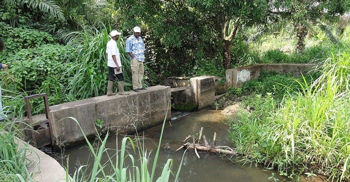
The tool can produce detailed assessments to monitor the functioning of a selected set of irrigation schemes, supporting modernisation plans as well as helping assure that improvements do in fact result in all water users receiving more reliable and cost-effective water services that are more adapted to increased climate variability.
The programme uses a pixel-based methodology to produce comprehensive maps allowing for better use of natural resources. When coupled with real-time data, agricultural extension agents can help farmers obtain more reliable crop yields, both improving their livelihoods and making them more sustainable. "Supporting smallholder farmers with access to geospatial information that can optimise water availability and curb their vulnerability to climate change is a key mission for FAO and this is an important first step," said FAO Assistant Director-General René Castro, head of the Climate, Biodiversity, Land and Water Department.
The IHE Delft Institute for Water Education, part of UNESCO and the world's largest international graduate water education facility, and the International Water Management Institute (IWMI) will support efforts in developing countries to boost capacity to use the new technology by tailoring relevant direct data queries, conducting time series analyses and downloading data regarding key variables that contribute to water and land productivity assessments.
The WaPOR tool is being developed in cooperation with a consortium of partners in the Netherlands - eLEAF, University of Twente, ITC and Waterwatch Foundation - as well as VITO in Belgium. The work plan anticipates developing apps that can be run on smartphones, enabling locally relevant use of the data from the spatial database.
Water accounting is increasingly promoted as an indispensable tool, particularly in water-strained areas. This includes coherent assessments of water resources availability, which must incorporate climate factors and require consideration of equitable entitlement - in particular, allocation of water for domestic and industrial uses and for broader ecosystem services. FAO offers technical advice on setting up appropriate water accounting and auditing frameworks.
It is estimated that for each 1 °C of global warming, seven percent of the global population will experience a decrease of 20 percent or more in renewable water resources. Improved management of water resources is mentioned as a critical area for intervention in the vast majority of the national climate-change adaptation and mitigation plans submitted to fulfill commitments under the Paris Climate Agreement.