


True, this software has been introduced into operations to create a digital representation of the department and its functionality, but it’s hardly advanced nor is it cutting edge.
However, as more organisations realise how their processes in supply chain and logistics are behind the curve, they are starting to focus their energy and resources into new and innovative technologies and solutions. They are recognising the importance of investing into ground-breaking technology that can give them a competitive edge.
One particular arena that has seen significant investment and attention is in the field of Geographical Information Systems (GIS). The volume of data at our fingertips from modern-day reporting and operations has grown tremendously. The aim of GIS is to allow this vast amount of data to be visualised in an intuitive way so that it can be interpreted intelligently. It is essential that there are tools that allow us to make sense of this data. GIS allows for this visual data to be shown at speed. It represents what is really going on in operations in real time rather than delayed spreadsheet reporting that doesn’t deliver either on immediacy or accuracy. GIS ties varies data sources together into one usable view.
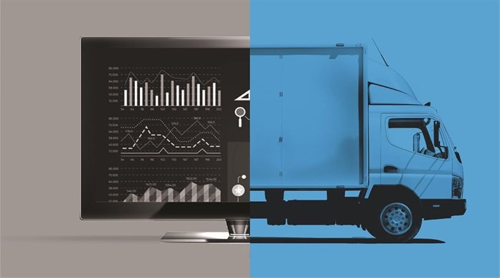
As this data is being shown in real time, it allows for decision-makers to make informed and agile decisions on the spot. They can solve problems escalate issues, initiate changes, avoid risk and make proactive decisions designed to deliver better results.
The GIS challenge
There is a huge opportunity for companies targeting a GIS approach to optimise their processes at every point along the supply chain. It has become increasingly evident that, as key personnel become more and more competent in their understanding of GIS, they can accurately coordinate their company’s processes around this technology. They are also able to target areas that are necessary for enhancement or growth.
The optimisation of processes and operations is something that every company strives towards. It is easy to say but it is often difficult to define. Where should the optimisations take place in order to achieve success? The answer lies in the organisation’s willingness to implement a GIS strategy and their ability to see it through.
Many companies are excited about the idea of implementing this technology to enhance operations but struggle with defining how they want to use it, what their goals are, and what they ultimately hope to learn from the technology. Often there is quick buy-in from top management and executives but significant resistance from the people on the ground, the people who will actually be using the systems.
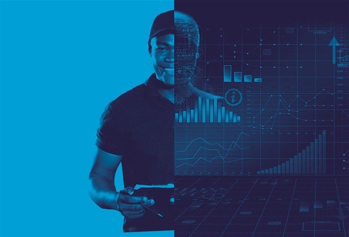
Warehouse staff and delivery vehicle drivers are the ones who make GIS systems work. Without them conforming to requirements and adopting the systems completely data accuracy will be skewed and this will impact the effectiveness of the implementation. This is one of the biggest stumbling blocks when it comes to successful GIS data and deliverables.
The reality is that GIS needs relationships. Executives need to gain buy-in from the employees and the solutions provider has to build relationships across the board to ensure that everyone understands the technology and the value it provides. The warehouse staff, the delivery vehicle drivers, the operations crew – these are the people who are key to the success of any GIS implementation.
To make the process as seamless as possible the technology has to be as user-friendly as possible. High barriers to entry and complex systems won’t engender trust or engagement. The technology has to be targeted at the people on the ground and designed to empower them and their roles.
If you can show these stakeholders that their roles are essential to the business's success in implementing new technology, then you will break down the barriers and drive engagement. They need to fully adopt and utilise the systems so they become more capable and add more value to their roles.
It is also important that implementation skills must be customisable to fit certain business rules. This ensures the best fit and the best possible results. To further ensure that any implementation fits the business, ensure that your service provider can provide unique solutions that help you gain an accurate representation of data in both real time and retrospectively.
Another large, industry-wide problem in the delivery process is the location accuracy of customers and delivery points. Tools such as Google Maps have allowed us to minimise this problem to a certain degree, but manually looking up addresses is a long and cumbersome process that employees don’t have time for. It is also a job done by the fleet controller and dispatch manager at the very last second before sending the delivery vehicle out.
This job needs to be done further up the supply chain so that the information provided to the person dispatching the vehicles is complete and accurate. This is where having a reliable team dedicated to data management and control can play a pivotal role, ensuring that the data given is accurate so the deliveries are executed effectively.
Many organisations don’t want the responsibility of ensuring the accurate geolocations of customers. Fortunately, there are service providers that can take on this role and this, in itself, is of value. Outsourcing the skills and technology required means access to the best and the latest of both. Any team dedicated exclusively to accurate location data is going to be ideally placed to handle static delivery points and ad hoc locations. This will not only streamline and improve accuracy but it will limit issues further down the line.
Primary and secondary distribution are mostly concerned with static delivery points, for example, so a dedicated team can work with them to establish these points and represent them as geographically correct. Once there is a clear outline of what is needed, then it is possible to plot the delivery points by drawing geofences around the locations. By using entering and exiting geofences as a reference point for delivery vehicles arriving and customers departing, you now gain accurate data that reflects the delivery process and the timing of its execution.
It is essential that the system is completely dynamic to allow for the change and manipulation of geofences already created so that locations can be plotted accurately. You can then take the feedback from the delivery vehicle drivers and the dispatch managers to generate informative reports on where mistakes have been made and what needs to be adjusted to show what is accurate. This on-the-spot resolution of problem locations helps drivers to do their jobs more effectively, immediately, and they look better when being judged on their deliveries. The dispatch managers or de-briefers also don’t need to question driver actions.
Final or last mile deliveries have increasingly become the target of logistics companies as customers are more demanding. They want to receive their ordered goods swiftly, within specific time limits and with accuracy of location. Modern customers want to alleviate the old challenges associated with shopping by managing everything with just a few clicks of a button.
Customers have also become impatient when it comes to lead time – the time spent waiting from the moment of order to actually receiving the products at their door. This demand for that level of service is daunting for the logistics industry. However, it is something that can be achieved and is a real growth pillar for companies that are focusing on final mile deliveries.
Trackmatic has worked with companies such as Coricraft, Dial-a-Bed and Makro who rely heavily on high service level deliveries to their customers. Our dedicated team allows us to use information captured at point of sale to effectively assign a geofence to each particular customer while ensuring that we don’t repeat the process for returning customers.
The biggest challenge is that almost all of these deliveries are to ad-hoc locations that haven’t been captured before and so there is no previous information to work with. Plotting the delivery point accurately is complex. This is where a dedicated team and high-end technology make a difference as the data can be accurately captured and used to ensure accurate delivery.
This level of engagement with clients has helped us build very strong relationships based on mutual respect for one another. By doing so, we have built very unique and specific Geographical Information Systems that fit customer needs, while ensuring that the stakeholders required to perform the task of delivering accurately and to a plan can do so to the best of their abilities.

![[REPORT]: Tech innovation is critical for future sustainability](https://biz-file.com/c/2006/560353.jpg)